

Overview
About the
Project
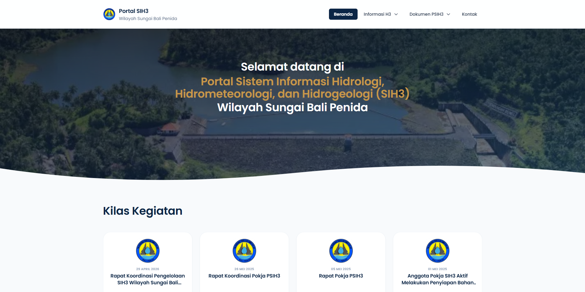
Architected, developed, and maintained the web portal for SIH3 (Hydrology, Hydrometeorology, and Hydrogeology Information System) for Balai Wilayah Sungai (BWS) Bali Penida under the Ministry of Public Works and Public Housing (PUPR). This portal serves as a mission-critical digital infrastructure to aggregate, process, and present centralized water resource telemetry data from monitoring stations across the river basins of Bali and Nusa Penida.
As the lead Web Developer, I engineered the backend architecture, developed inter-agency RESTful APIs, and created periodic time-series data analytics dashboards to empower data-driven water resource management and hydrological disaster mitigation.
-
InstitutionBWS Bali Penida (PUPR)
-
Year / Duration2024 - Present
-
RoleWeb Developer
-
StatusProduction Active
Engineering Architecture
Technical Challenges &
Engineering Solutions
Automated Telemetry Aggregation
Integrated automated data synchronization via background schedulers across dozens of remote telemetry stations (water level, rainfall, and climatology stations) distributed throughout Bali and Nusa Penida river basins with zero packet loss.
High-Throughput RESTful API
Architected standardized REST APIs for cross-institutional integration (Central PUPR, BMKG, academic institutions, and regional agencies) featuring bearer token authentication and adaptive rate-limiting to protect against server saturation.
Time-Series Query Optimization
Optimized MySQL schema architecture with timestamp-based table partitioning and composite indexing, accelerating historical precipitation and water discharge analytics calculations to sub-millisecond query execution times.
Dynamic Interactive Visualization
Engineered interactive time-series chart modules and visual trend monitors utilizing Tailwind CSS and Chart.js, enabling hydrological analysts and agency leadership to comprehend seasonal fluctuations effortlessly.
Deliverables
Implementation Scope & Engineering Deliverables
- Backend Engineering: Designed a robust Laravel service-layer architecture for reliable, high-integrity numerical data computation and ingest pipelines.
- Automated Alert Thresholds: Implemented real-time river water level threshold detection (Normal, Advisory, Watch, Warning) triggering immediate visual indicators across monitoring consoles.
- Multi-Format Data Export: Engineered flexible historical reporting pipelines (CSV, Excel, PDF) customizable by monitoring station and date intervals for environmental researchers.
- Hierarchical Role Management: Configured granular role-based access control separating field telemetry operators, balai data analysts, system administrators, and public read-only access.
- Sensor Telemetry Validation: Designed automated anomaly filters to identify and isolate erratic sensor readings (spike anomalies or negative values) caused by field hardware glitches.